
Súbor:Lebanon location map Topographic.png

Veľkosť tohto náhľadu: 521 × 599 pixelov. Iné rozlíšenia: 209 × 240 pixelov | 417 × 480 pixelov | 993 × 1 142 pixelov .
Pôvodný súbor (993 × 1 142 pixelov, veľkosť súboru: 990 KB, MIME typ: image/png)
Zhrnutie
| Pozícia kamery | | Tento a ďalšie obrázky na: OpenStreetMap |
|---|
| Popis |
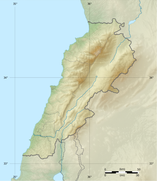
Deutsch: Positionskarte des Libanon
Quadratische Plattkarte, N-S-Streckung 115 %. Geographische Begrenzung der Karte: Français : Carte physique vierge du Liban, destinée à la géolocalisation.
Projection equirectangulaire, N/S stretching 115 %. Limites géographiques de la carte: English: Location map of Lebanon
Equirectangular projection, N/S stretching 115 %. Geographic limits of the map:
|
||
| Dátum | |||
| Zdroj |
Topographic background map: Own work
|
||
| Autor | Vivepat and NordNordWest | ||
| Povolenie (Využívanie tohto súboru) |
|
||
| Ďalšie verzie |
|


Licencovanie
Ja, držiteľ autorských práv k tomuto dielu ho týmto zverejňujem za podmienok nasledovných licencií:

|
Bolo udelené povolenie kopírovať, širiť a/alebo meniť tento dokument za podmienok GNU Free Documentation License, iba verzie 1.2, ktorú publikovala Free Software Foundation; bez Nemenných častí, bez Textov na prednej obálke a bez Textov na zadnej obálke. Kópia tejto licencie je zahrnutá v časti nazvanej GNU Free Documentation License. | iba 1.2 |
|
|
Bolo udelené povolenie kopírovať, širiť a/alebo meniť tento dokument za podmienok GNU Free Documentation License, verzie 1.3 alebo ktorejkoľvek neskoršej verzie, ktorú publikovala Free Software Foundation; bez Nemenných častí, bez Textov na prednej obálke a bez Textov na zadnej obálke. Kópia tejto licencie je zahrnutá v časti nazvanej GNU Free Documentation License.
|
If this file is eligible for relicensing, it may also be used under the Creative Commons Attribution-ShareAlike 3.0 license. The relicensing status of this image needs to be manually reviewed by an experienced user. You can help.
|
Môžete si zvoliť ľubovolnú z týchto licencií.
História súboru
Po kliknutí na dátum/čas uvidíte ako súbor vyzeral vtedy.
| Dátum/Čas | Náhľad | Rozmery | Používateľ | Komentár | |
|---|---|---|---|---|---|
| aktuálna | 06:17, 22. jún 2017 | | 993 × 1 142 (990 KB) | Vivepat | correction lat/lon |
| 06:10, 22. jún 2017 |  | 993 × 1 142 (990 KB) | Vivepat | Lattitude error correction | |
| 05:59, 22. jún 2017 |  | 993 × 1 142 (990 KB) | Vivepat | update of the map using the Wikipedia maps conventions | |
| 22:12, 15. jún 2012 |  | 1 581 × 1 818 (3,35 MB) | Dr Brains |
Použitie súboru
Na tento súbor odkazujú nasledujúce 3 stránky:
Globálne využitie súborov
Nasledovné ďalšie wiki používajú tento súbor:
- Použitie na als.wikipedia.org
- Použitie na an.wikipedia.org
- Použitie na ar.wikipedia.org
- Použitie na arz.wikipedia.org
- Použitie na ast.wikipedia.org
- Použitie na az.wikipedia.org
- Použitie na bn.wikipedia.org
- Použitie na bs.wikipedia.org
- Použitie na ca.wikipedia.org
- Použitie na ceb.wikipedia.org
- Použitie na ce.wikipedia.org
- Použitie na cs.wikipedia.org
- Použitie na da.wikipedia.org
- Použitie na el.wikipedia.org
- Použitie na en.wikipedia.org
Zobraziť ďalšie globálne použitie tohto súboru.